
Land Clearing Permits & Burn Rules in Albemarle County & Charlottesville
Do you need a permit to clear land in Albemarle County? It depends on how much ground you disturb, how close you are to a stream, how steep it is, whether you plan to burn, and whether the land is under a conservation easement. The City of Charlottesville has its own, stricter rules. Here's each one in plain terms, with the thresholds, the fees the county publishes, and the offices that decide. Checked against the county code, city code, and state sources in October 2026, including Albemarle's new stream buffer rules that took effect September 1, 2026. Rules change, so the links are there for a reason.
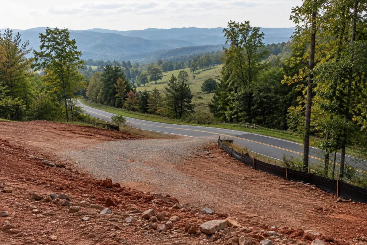
The short version
| If you're... | Then... |
|---|---|
| Disturbing less than 10,000 sq ft (about 0.23 acre) in Albemarle | No county land disturbance permit, unless it's part of a larger development plan. Stream buffers, the 15-foot stream tree rule, and easements still apply at any size. |
| Disturbing 10,000 sq ft or more in Albemarle | County application, erosion and sediment control plan, and land disturbance permit. A single-family home on a lot of one acre or less can usually use an agreement in lieu of a plan. |
| Disturbing 6,000 sq ft or more in the City of Charlottesville | City erosion and sediment control approval before any work, with an agreement in lieu available for single-family homes. |
| Disturbing one acre or more | Add state construction stormwater coverage from DEQ (with a narrower path for a single-family home) and the full stormwater rules. |
| Working within about 100 feet of a stream | Albemarle's riparian buffer standards: native vegetation stays, with exceptions for dead trees, hazards, invasives, and bona fide farming. Applies even with no building project. |
| Building on slopes of 25% or more | Albemarle's critical slopes rules, with an exemption for the first house on an existing lot that has no better spot. |
| Clearing strictly for farming | Exempt from the county land disturbance permit. Farm buildings and horse rings are not exempt, and timber cut without replanting or converting to farm use isn't either. |
| Burning land-clearing debris in Albemarle | $500 county permit, $1.5 million liability insurance, 2,000 ft from neighbors' occupied buildings, weekdays 8 AM to 8 PM, never February 15 to April 30. |
| Burning land-clearing debris in the City | Prohibited. |
| Clearing land under a conservation easement | Read the deed and contact the easement holder first. Each deed is different. |
Albemarle's land disturbance permit
Albemarle's Water Protection Ordinance requires an application, an erosion and sediment control plan, and a land disturbance permit for land disturbance of 10,000 square feet or more, "including the harvesting of forest crops, unless the activity is exempt" (County Code § 17-300). A smaller job is covered too if it's part of a larger plan of development that will exceed 10,000 square feet. The county's definition of land disturbance is a man-made change to the land surface that may cause erosion or change runoff, "including construction activity such as the clearing, grading, excavating, or filling of land." The program is run by the County Engineer, who decides whether a given activity counts and whether it's exempt.
House sites. For a single-family home, the county can accept an agreement in lieu of a plan: a written contract with the owner describing the erosion controls, used instead of a full engineered plan. Under § 17-402 it's for a house on an individual lot of one acre or less that isn't already under a plan, with a Critical Resources Plan attached. It isn't available where the work would disturb a stream channel or is likely to send sediment into a stream or onto a neighbor's land. Larger lots need a full plan. Note that Albemarle's cutoff is the size of the lot, not just the size of the disturbance.
Fees. The county's fee schedule lists $235 for a sole single-family dwelling disturbing under five acres (including the first year's maintenance fee), $235 for land clearing from 10,000 square feet up to one acre, and $2,205 for land clearing from one to five acres, with higher tiers above that. The county adds a 4 percent technology surcharge. Confirm current amounts when you apply.
Exemptions. The county's exemption list (§ 17-301) includes minor work like home gardens and individual home landscaping, repairs, and maintenance; installing fence posts and poles; and "clearing of lands specifically for bona fide agricultural purposes" along with tilling, planting, and harvesting crops. Timber harvesting is exempt only if the land is reforested under Department of Forestry best management practices or converted to farm or improved pasture use. The county's riparian buffer guidance adds that farm buildings, horse rings, and other recreational improvements on a farm are not exempt.
Who to call. Albemarle Community Development, 401 McIntire Road, 434-296-5832. Applications go through the county's online Civic Access portal.
Does forestry mulching count as land disturbance?
This is the question everyone asks, and the honest answer is that nothing official says. Albemarle's definition names "clearing," but it's about changes to the land surface that may cause erosion or change runoff, and mulching that leaves stumps and roots in the ground doesn't move soil the way grubbing does. Neither the county code, DEQ, nor the Department of Forestry addresses mulching by name. The code gives the decision to the County Engineer. If you're mulching more than 10,000 square feet, ask Community Development before the work starts, and get the answer in writing if you can. Grubbing stumps out is land disturbance, full stop.
Stream buffers: Albemarle's new rules (effective September 1, 2026)
In June 2026 the Board of Supervisors moved Albemarle's stream buffer rules out of the Water Protection Ordinance and into a new zoning section, the Riparian Buffer Protection Standards (Zoning § 18-4.23), effective September 1, 2026. Some older county web pages still describe the previous rules. The biggest change for landowners, in the county's own plain-language summary: the standards require keeping existing native forest vegetation in protected buffers "even when the property is not being developed."
- How wide. In the Rural Area, the buffer is the greater of 100 feet or the flood hazard overlay, on both sides of the stream; the county's summary says Rural Area buffers include streams that only flow part of the year. In the Development Areas it's 100 feet from perennial streams, and from intermittent streams too inside a water supply protection area. Around public water supply reservoirs it's 200 feet beyond the floodplain. Clearing done in the past doesn't shrink the buffer, and the county's GIS buffer map is advisory only.
- What stays. Native vegetation within the buffer must not be disturbed or removed. Fertilizer and herbicide are prohibited in the buffer except for invasive-species control the county approves.
- What can go. Dead, diseased, or dying trees and shrubs; invasive plants, including Johnson grass, kudzu, and multiflora rose; and trees that pose an imminent hazard. The owner may have to show that a removal qualified.
- Farming and forestry. Bona fide agricultural activities are permitted, except non-exempt roads and new farm structures within 100 feet of the stream. Timber harvesting is permitted when it follows the Department of Forestry's water-quality best management practices, including streamside management zones.
- Views. The county's summary says the standards generally don't allow "removing trees or shrubs to create views or sightlines." Already-mowed areas can keep being mowed, as long as they aren't expanded.
- Crossings and the outer edge. Some work, like a stream crossing for a driveway or temporary erosion controls in the outer 50 feet, needs approval from the Riparian Buffer Administrator (the County Engineer) and a mitigation plan.
Two older zoning rules still apply on top. No tree within 15 feet of a perennial stream or water supply reservoir may be cut, except dead trees or trees under 6 inches in diameter (Zoning § 18-4.3). And along the Moormans River, from the Sugar Hollow dam to the Mechums River, the Scenic Streams overlay bars cutting living trees over 6 inches within 15 feet of the river, with narrow exceptions. Buffer questions go to 434-296-5832 or streamhealth@albemarle.org.
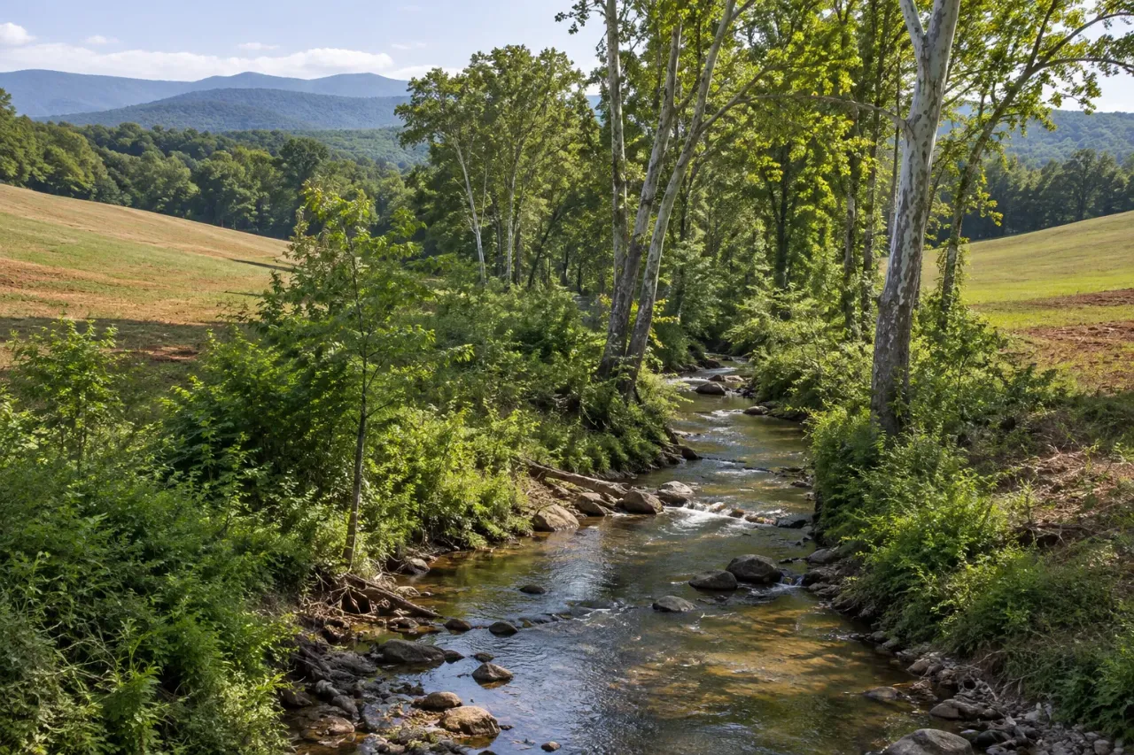
Steep slopes
Albemarle defines critical slopes as slopes of 25 percent or more (Zoning § 18-4.2), citing the risk of soil and rock movement, runoff, and siltation. The rule bars structures, improvements, and the land disturbance to build them on critical slopes, unless an exception applies. The first single-family house on an existing lot is exempt, but if the lot has room off the critical slopes, the house has to go there. The county also asks the Health Department to discourage septic systems on slopes of 20 percent or more, which matters when you're choosing where to clear for a house and drainfield.
In the Development Areas (Crozet, Pantops, and the other growth areas), a Steep Slopes Overlay replaces the critical-slopes rule with "managed" slopes, where development can happen under design standards, and "preserved" slopes, which are largely off limits. The rules are written around building; whether clearing or mulching alone on a steep slope is regulated beyond the land disturbance and buffer rules is a question to ask the county.
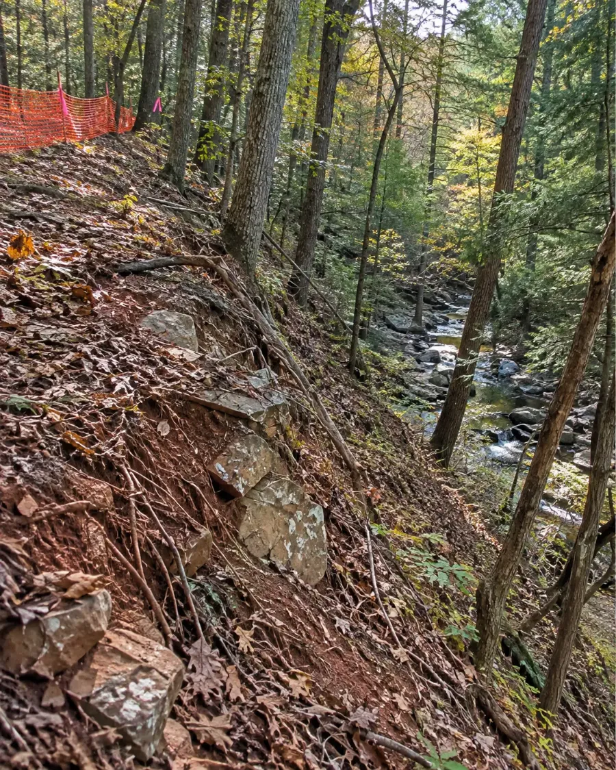
Cutting trees outside the Rural Area
Most rural land in Albemarle is zoned Rural Areas. In every other zoning district, Zoning § 18-4.3 limits tree cutting to dead trees and trees under 6 inches in diameter unless the clearing is part of an approved use, and it counts bulldozing, girdling, and poisoning as cutting. If your land is in a residential or other non-rural district and you're clearing without a building project, ask Albemarle Zoning how this applies before you start. We didn't find a general tree-removal permit for the Rural Areas district; there, the land disturbance, buffer, slope, and easement rules on this page are what apply.
City of Charlottesville
The City is a separate jurisdiction with lower thresholds. Its erosion and stormwater rules (City Code § 10-24) apply to land disturbance of 6,000 square feet or more, and no land disturbance may begin until the City approves it and a Responsible Land Disturber is named. The City's erosion and sediment control page offers an agreement in lieu of a plan for single-family detached homes. The Engineering Division of Public Works (434-970-3301) handles erosion control.
The City keeps 100-foot stream buffers along the Rivanna River, Moore's Creek, and Meadow Creek, where native vegetation can't be removed except for listed activities. Its tree regulations require a tree removal permit for trees in a protected area or the public right-of-way, through the City's permit portal. And burning land-clearing debris is prohibited in the City (City Code § 12-32). Neighborhood Development Services, which handles permits and zoning, is at 434-970-3181.
Burning land-clearing debris in Albemarle
Albemarle rewrote its open burning ordinance in January 2026, and the rules for land clearing are among the strictest you'll find. Under County Code §§ 6-406 and 6-407 and the county's open burning guidelines, land and lot clearing burns require:
- Fire Marshal approval and a permit: $500, for land clearing operations only, valid 60 days per location, and no more than three per parcel per year.
- Proof of liability insurance of at least $1.5 million and a written site and burn plan with the application.
- Piles at least 2,000 feet from any occupied building unless its occupant gives written permission, or 1,000 feet if an air curtain incinerator is used the whole time (which needs its own permit, and the pulpwood, sawlogs, and firewood removed first). At least 2,500 feet from airfields, schools, and healthcare facilities.
- Burning only from 8 AM to 8 PM, Monday through Friday, and never from February 15 through April 30.
- Only debris from the site being cleared, nothing from demolition, with an adult attending until it's out.
Violations are a Class 1 misdemeanor with fines up to $2,500, plus the cost of fighting the fire. Put plainly, 2,000 feet is more than a third of a mile, so on most properties with neighbors nearby, burning clearing debris isn't practical. That's why so much clearing in Albemarle is done by mulching or with the debris ground or hauled. Questions go to Albemarle County Fire Rescue's Community Risk and Resilience section, 434-296-5833, option 1.
Burning ordinary yard trimmings from your own property is treated differently: no permit, but 300 feet from neighbors' occupied buildings and a call to the county's Emergency Communications Center before and after. On top of the county rules, Virginia's 4 PM Burning Law (Va. Code § 10.1-1142) bans open burning before 4 PM from February 15 through April 30 within 300 feet of woods, brush, or dry grass, and requires any fire within 150 feet of woodland to be attended and fully out before you leave, year-round.
Conservation easements
If you're clearing in rural Albemarle, check whether your land is under easement before anyone unloads a machine. The county reports that about 109,900 acres, roughly a quarter of the Rural Area, are protected by conservation easements, about 30,300 of them held by the County or the Albemarle Conservation Easement Authority and many others by the Virginia Outdoors Foundation and other land trusts. Easements are permanent and bind every later owner.
Each deed is different. The county's conservation program page says some activities, including timber harvesting and new buildings, require notice to or written approval from the easement holder, and the Virginia Outdoors Foundation lists changing land from forest to farm use and pre-harvest timber plans among the things it may need to review, which can take 30 days or more. Read your recorded deed of easement, then call the holder. For County and ACEA easements, the contact listed by the county is Scott Clark at 434-296-5832, ext. 3249.
The state rules behind the local ones
Virginia's Erosion and Stormwater Management Act (Va. Code § 62.1-44.15:34) sets erosion controls at 10,000 square feet and lets localities go lower, which is what the City did at 6,000. At one acre or more, state construction stormwater permit coverage from DEQ applies; DEQ says a single-family home that's a "small construction activity" doesn't file the usual registration statement. You may see a 2,500 square foot threshold quoted online. That applies in Chesapeake Bay Preservation Areas, which belong to Tidewater localities, and Albemarle and Charlottesville aren't on that list.
Wetlands are their own matter. Mechanized clearing in a wetland can need a federal Army Corps of Engineers permit and a state DEQ permit regardless of acreage, through Virginia's Joint Permit Application. And if a logger buys the timber, Virginia law (Va. Code § 10.1-1181.2) puts the duty on the logger to notify the State Forester within three working days of starting a commercial harvest. The Department of Forestry's headquarters is in Charlottesville, at 434-977-6555.
Permit questions
Who pulls the permit, me or the contractor?
The land disturbance permit and the single-family agreement are the owner's, usually alongside the building permit, but contractors often handle the paperwork and a contractor can serve as the Responsible Land Disturber. Put in writing who's doing what. The burn permit goes to whoever is burning, with their insurance.
How do I know if a stream on my land has a buffer?
Start with the county's GIS buffer layer, but treat it as a rough guide; the code says it's advisory only. The county can make a stream determination (its fee schedule lists $320), and a single-family house in the Rural Areas can be excused from a buffer survey if nothing in the buffer is disturbed. When in doubt, call 434-296-5832.
Does bush-hogging need a permit?
No. Mowing doesn't change the land surface, and maintaining an area that's already mowed is allowed even inside a stream buffer, as long as the mowed area isn't expanded.
Can I burn clearing debris in the summer?
Albemarle's own blackout is February 15 through April 30. Outside those dates, with the permit, insurance, and 2,000-foot setback, on weekdays. In the City, not at all.
What happens if I clear without a permit?
The county can stop the work and require erosion controls and repairs before anything continues, and burning violations are Class 1 misdemeanors. A phone call first costs nothing.
How we help
Call or send a short request. We connect you with one independent contractor who works in your part of Charlottesville or Albemarle. They walk the land and give you a quote, and you decide. There's no charge for the referral. This page is general information, not legal advice; the county or city office has the final word on its rules.
Want a local contractor to walk your land?
Call or send a short request. There's no charge for the referral.